
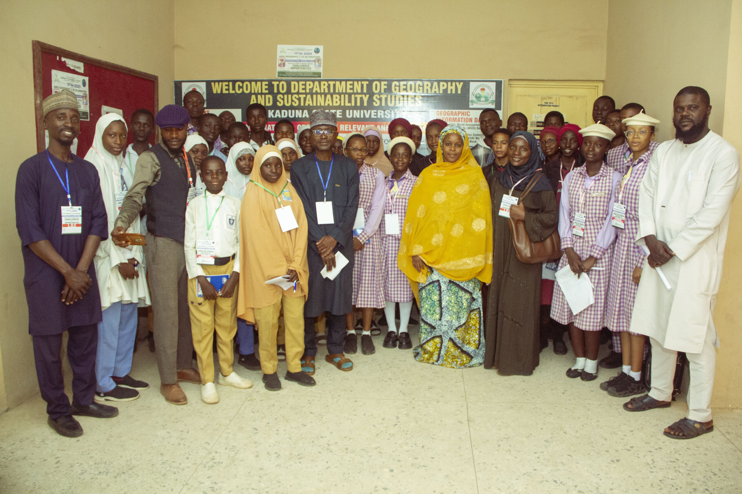
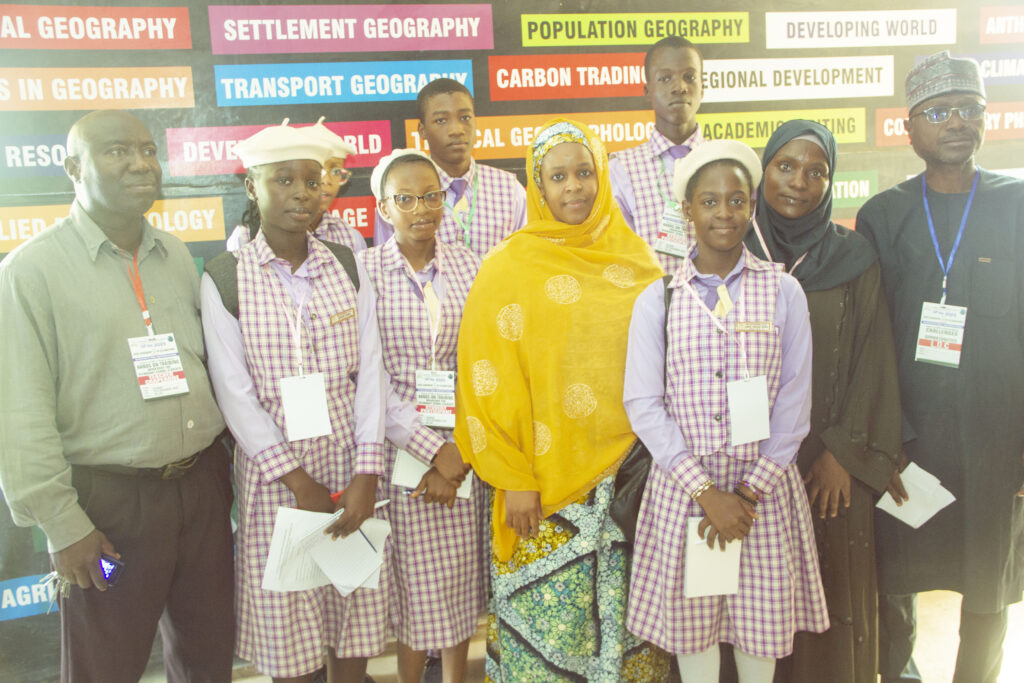
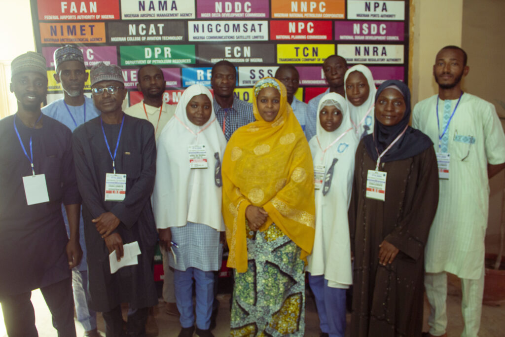
The Department of Geography and Sustainability Studies at Kaduna State University recently celebrated GIS @20 2025 by hosting a hands-on training workshop for secondary school students. Themed “Geo-Generalist Era: Where Spatial Meets Everything,” the event featured participation from several local schools, including Rimi College, Success Academy, Uncle Bado School, Nashmir College, and GGSS Kabala Costain.
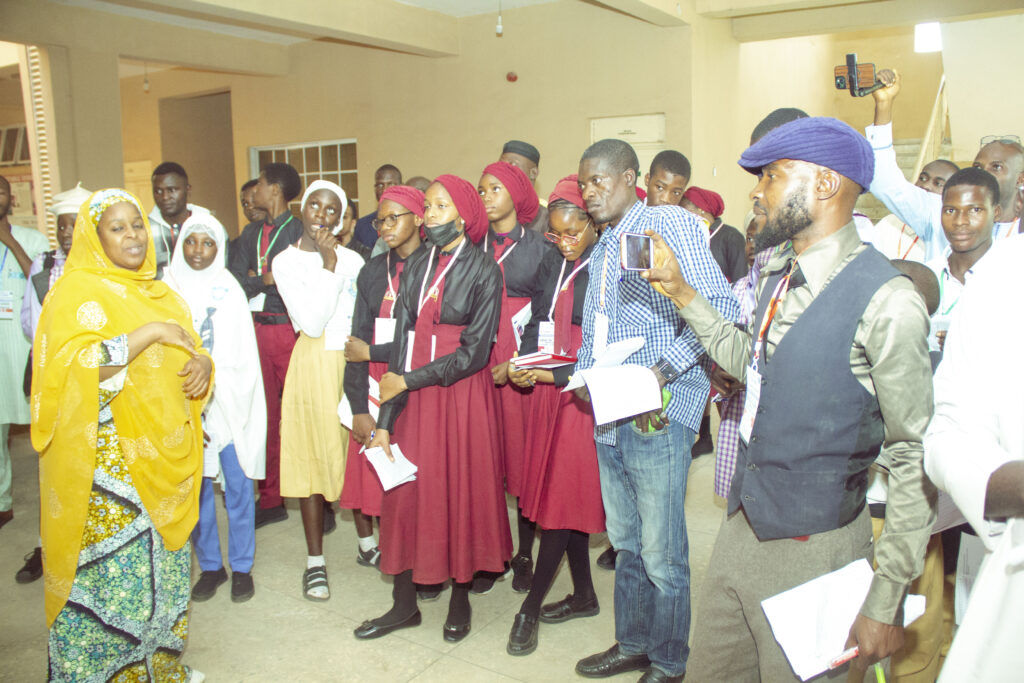
Declaring the workshop open, Dr. Asmau Ahmed Mukhtar, Head of the Department of Geography, welcomed participants and encouraged the students to engage actively throughout the programme, assuring them of an enriching experience. She also gave a brief history of Geographic Information Systems (GIS), which set the stage for the presentations that followed. Prof. J. G. Laah and Prof. Bala Dogo also made notable contributions, emphasizing the importance of GIS and geography education.
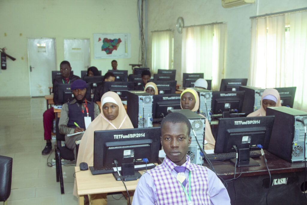
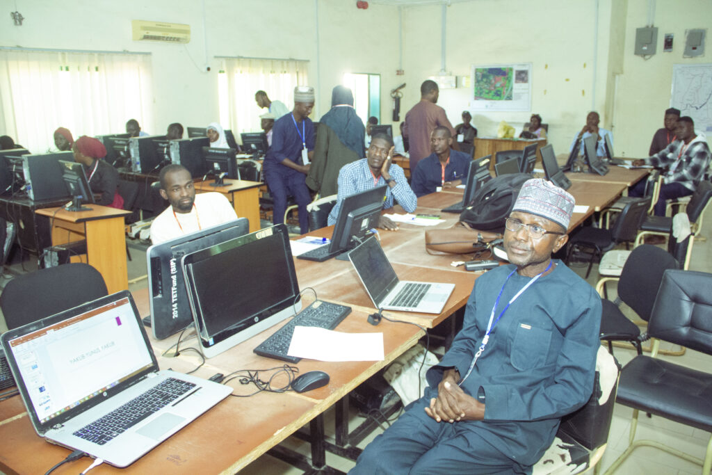
The first presentation, delivered by Mr. Yakub Yunus Yakub, lecturer in the department, focused on the fundamentals of GIS. He described GIS as a powerful tool for capturing, analyzing, and visualizing spatial data and outlined its core components: hardware, software, data, methods, and users. He discussed geo-referencing, the evolution of GIS since the 1960s, and its primary functions such as map overlay and network analysis. Mr. Yakub demonstrated various GIS applications across sectors including the military, agriculture, and governance, while also highlighting modern trends such as location-based services and web GIS.
This was followed by a presentation on remote sensing by Dr. Salisu Ibrahim. He defined remote sensing as the science of obtaining information about objects or areas from a distance using satellites or aircraft equipped with sensors. He explained the difference between passive sensors, which detect natural energy, and active sensors, which emit signals. Dr. Ibrahim highlighted the importance of remote sensing in environmental monitoring, disaster management, and urban planning, noting that its integration with GIS greatly enhances spatial analysis.
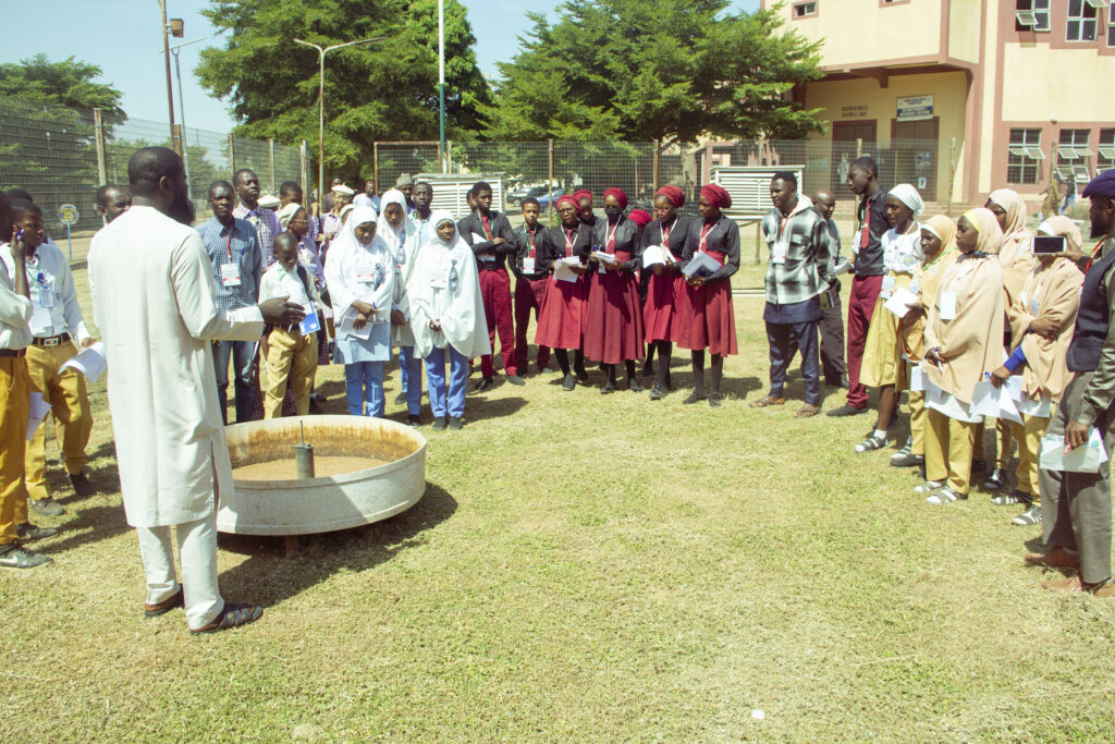
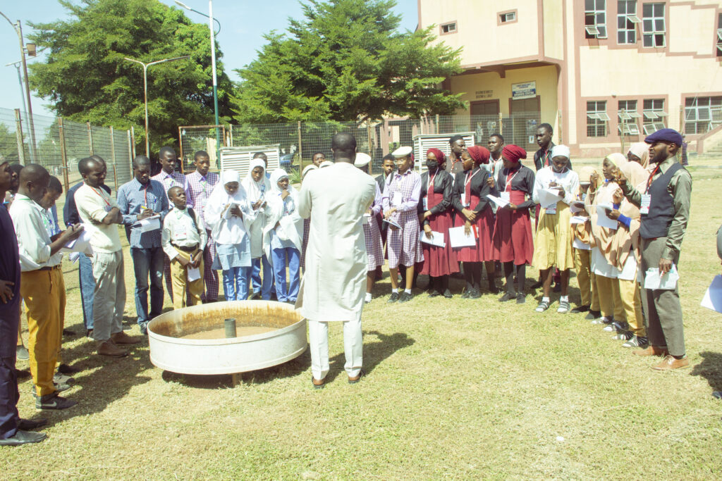
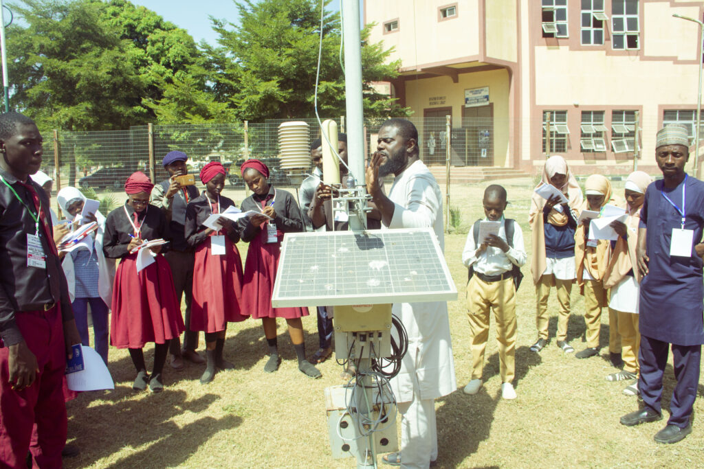
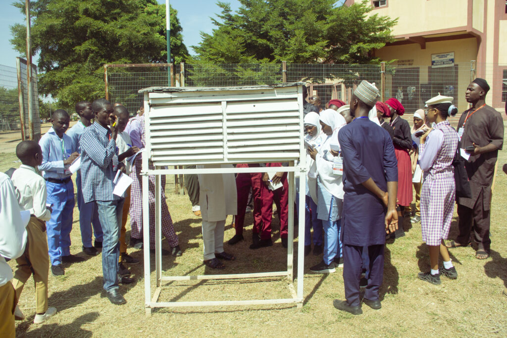
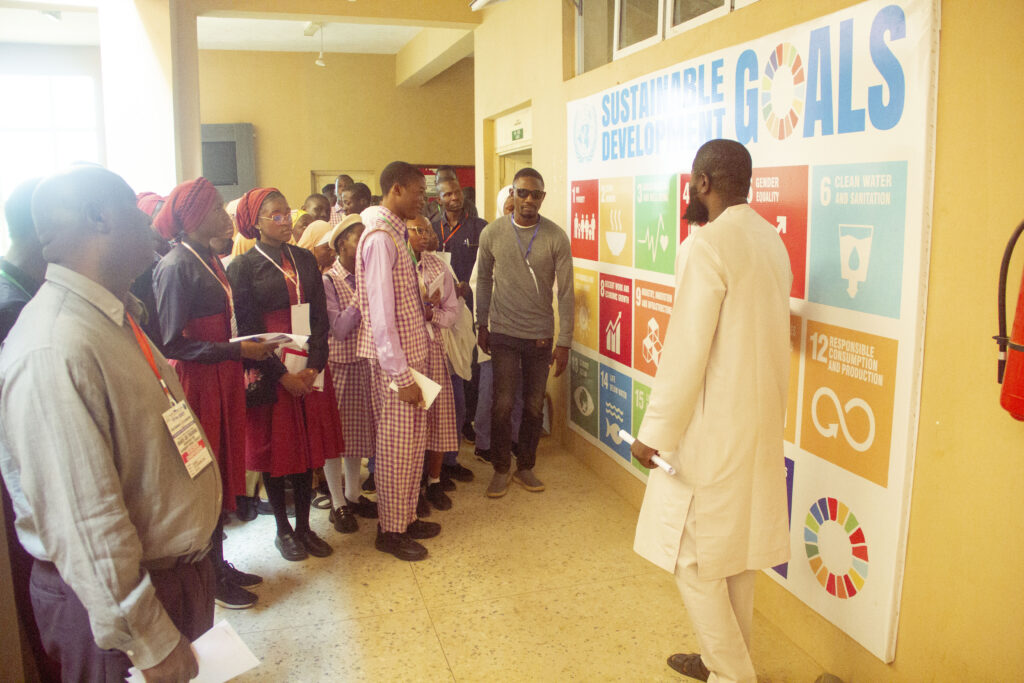
The final session, led by Mal. Muhammad Lawal Abubakar, offered students a practical demonstration of meteorological instruments at the department’s weather station. He introduced tools such as the pan evaporimeter, grass thermometer, hydrometer, hygrograph, anemometer, and solarimeter. The interactive session was followed by a guided tour of the Department of Geography, showcasing various learning resources for studying geography and environmental science.
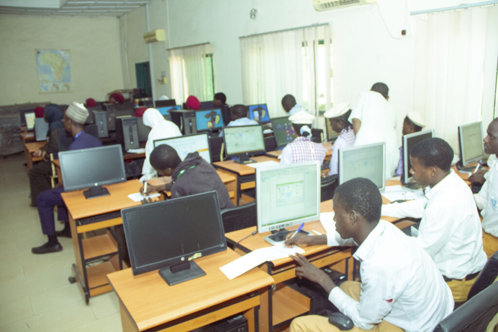
A mapping competition added excitement to the event, with Uncle Bado School emerging in first place, Nashmir College taking second place, and Success Academy coming third.
In his closing remarks, Mr. Yakub Yunus Yakub expressed gratitude to all participating schools for honouring the GIS @20 2025 celebration. He encouraged the students to continue nurturing their interest in geography and sustainability studies and expressed hope of welcoming them again at Kaduna State University.
The workshop proved to be an inspiring and rewarding experience for all participants, motivating the next generation of geographers and sustainability advocates.